Project
Since 2000, West Fargo has more than doubled in population and households. Most of this growth occurred around the Sheyenne Street corridor, and has outpaced expectations incorporated into the recently completed Long Range Transportation Plan.
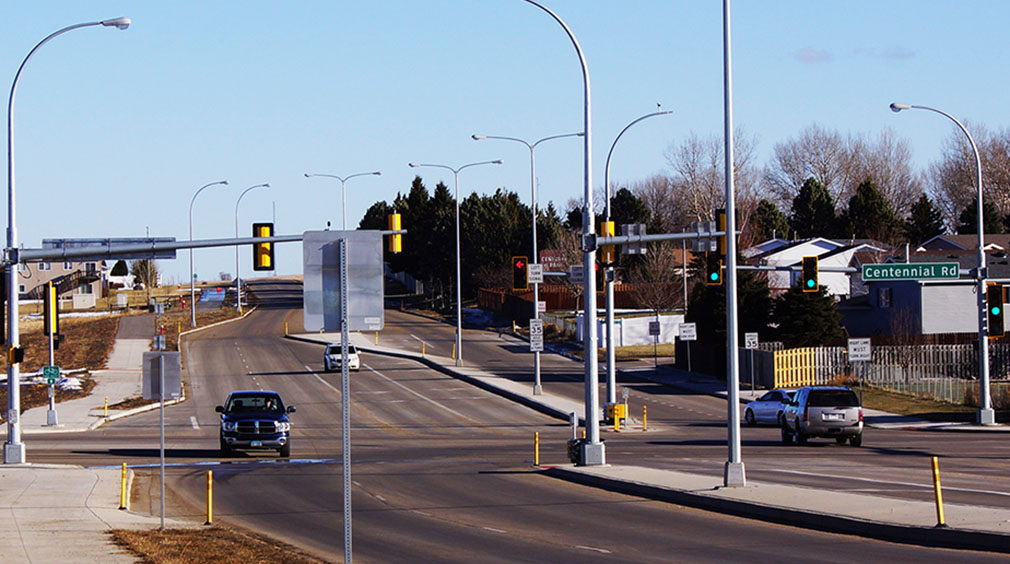
From downtown to I-94, the stable residential neighborhoods sought a balance between access to their homes, bicycle and pedestrian activity, and increased traffic moving between downtown, the neighborhoods, and interstate.
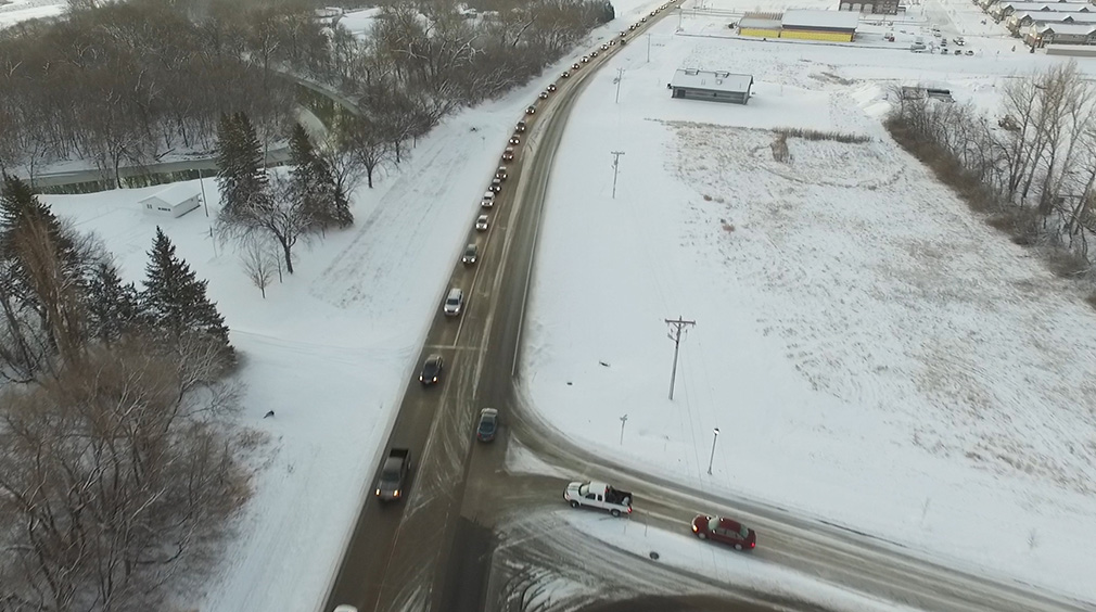
Every morning and evening, the I-94 interchange is oversaturated as people go to-and-from work. During peak hours, long queues block adjacent intersections in the morning and extend onto the interstate in the evening, creating challenging and serious safety issues. This was only expected to worsen as West Fargo and the surrounding cities in the southwest metro area reach full build out.
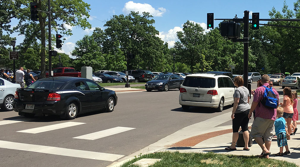
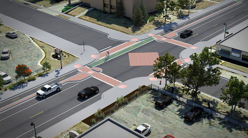
South of I-94, the explosion of residential development has created an active bedroom community, where more than half of West Fargo’s population live. The predominantly residential development results in an auto-centric area as people must leave to reach places to shop, dine, and work. This auto traffic, combined with lack of multimodal facilities has resulted in increased conflicts between pedestrians, bicyclists, and cars.
Solution
Sheyenne Street required a planning process that could respond to the distinct needs of each area of the corridor that included capacity and safety enhancements, pedestrian and bicycle improvements, traffic calming measures, and an innovative interchange solution.
KLJ worked with neighboring cities, Fargo and Horace, to understand their growth potential and possible impacts to Sheyenne Street. The team also completed a land consumption analysis based on historical platting patterns to refine estimates of full build out along the corridor. These estimates were incorporated into the travel demand model to evaluate impacts of different growth scenarios on traffic forecasts. KLJ incorporated the refined growth projections into microsimulation models to evaluate operations and safety (crash potential). The microsimulation models allowed us to address the unique travel challenges on Sheyenne Street.
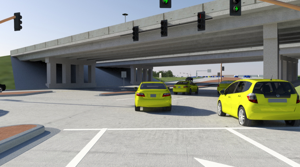
KLJ developed the Modified Single Point Urban Interchange design (MSPUI) to address the travel patterns of Sheyenne Street. Like a traditional Single Point Urban Interchange design, the MSPUI combines the ramp intersections into one intersection. However, the MSPUI allowed northbound and northbound to eastbound I-94 traffic to travel without stopping through the interchange area.
To gain consensus among technical stakeholders, KLJ brought together 15 transportation experts from the City of West Fargo, Cass County, Fargo-Moorhead Metropolitan Council of Governments, and the North Dakota Department of Transportation. After a field review to understand the existing issues, the attendees prioritized the criteria (safety, mainline operations, local operations, cost, and environmental impacts) which was then applied to the technical scoring. Based on the technical analysis and the priorities of the stakeholders, the innovative, first-of-its kind, MSPUI design was identified as the preferred alternative. The MSPUI was the only alternative studied that will provide acceptable operations through 2065. Through a rigorous public and stakeholder involvement process and a responsive planning approach, KLJ and West Fargo developed the Modified Single Point Urban Interchange design, which combined the ramp sections into one intersection that could move directly into design and construction.
Results
The design resulted in 60 percent less delay and reduced total crash potential by 60 percent. The improvements will provide a multimodal corridor that stretches the entire north-south length of West Fargo, serving all users. This project was awarded an American Council of Engineering Companies of North Dakota, Engineering Excellence award.