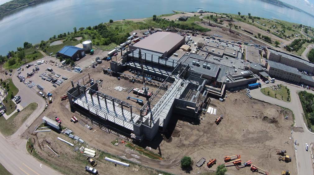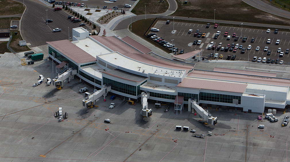
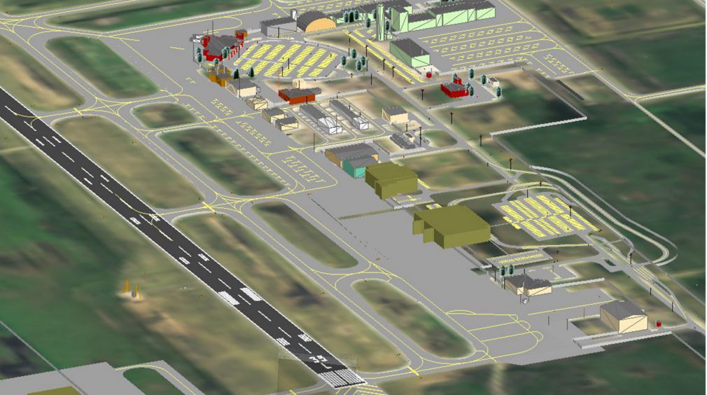
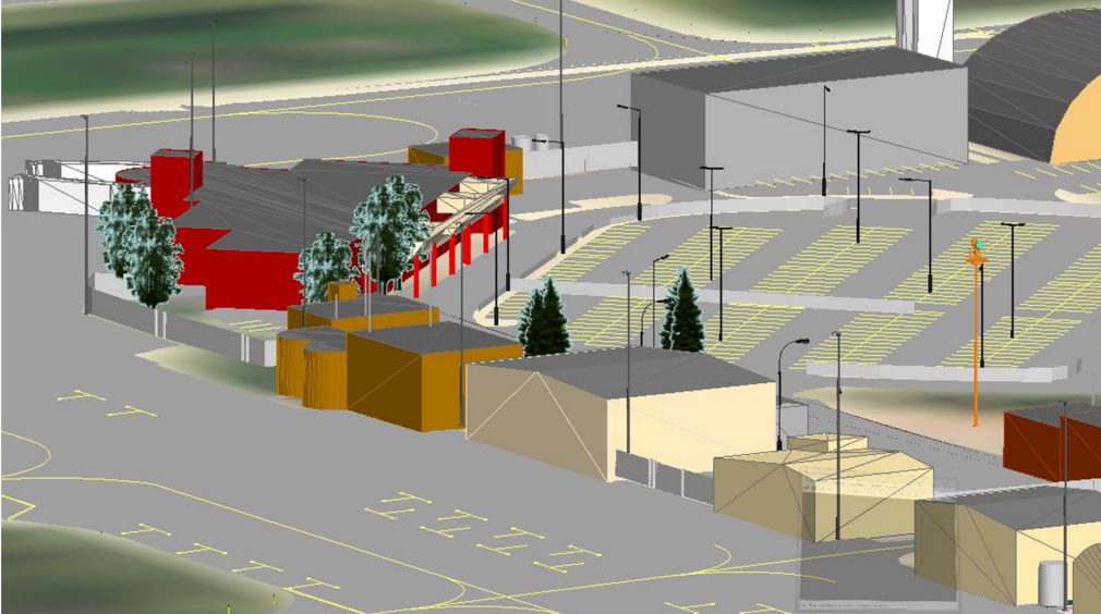
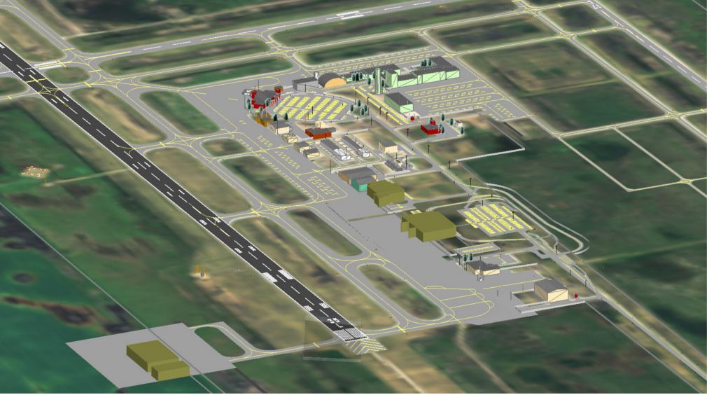
PROJECT
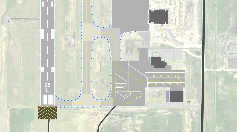
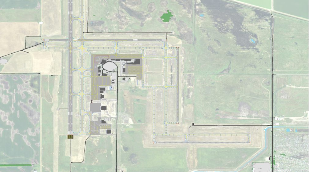
The project was part of the Federal Aviation Administration’s (FAA) Airport Geographic Information System program (AGIS) phase II pilot project which spanned across the country to map airport infrastructure as part of an Electronic Airport Layout Plan (eALP) and as part of the FAA’s Next Generation of Air Transportation (NextGEN). It was one of just 29 projects in the United States and was the first of its kind in North Dakota. The project created usable data not only for the FAA, but the airport sponsor which is being used by the Grand Forks International Airport ground operations and management staff for management of the airport's infrastructure.
SOLUTION
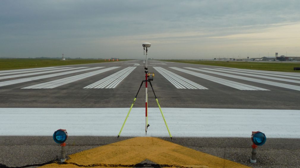
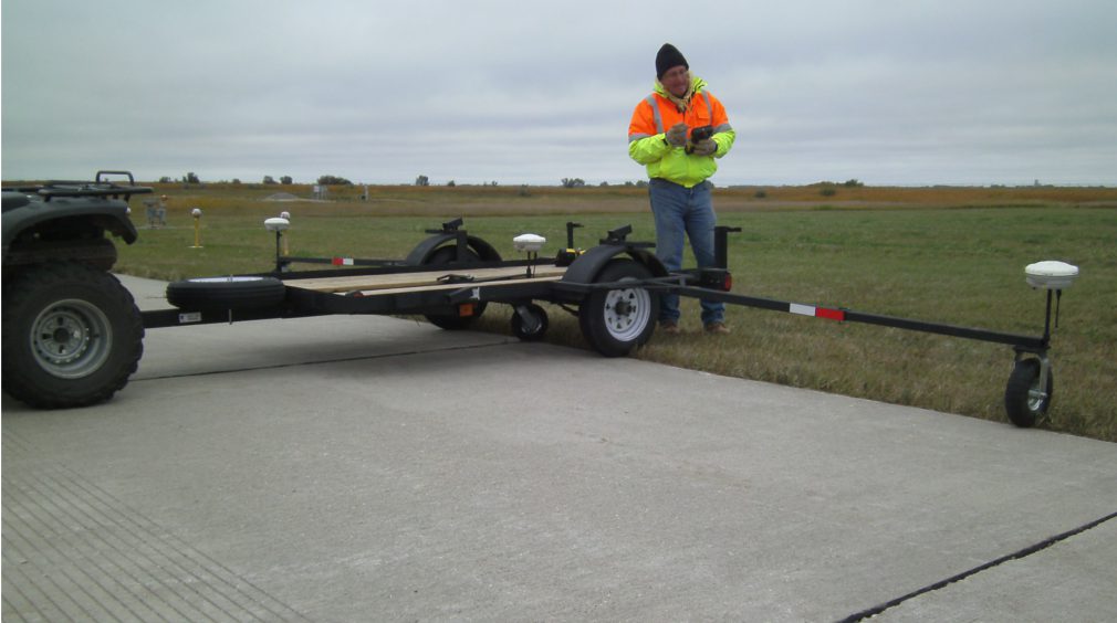
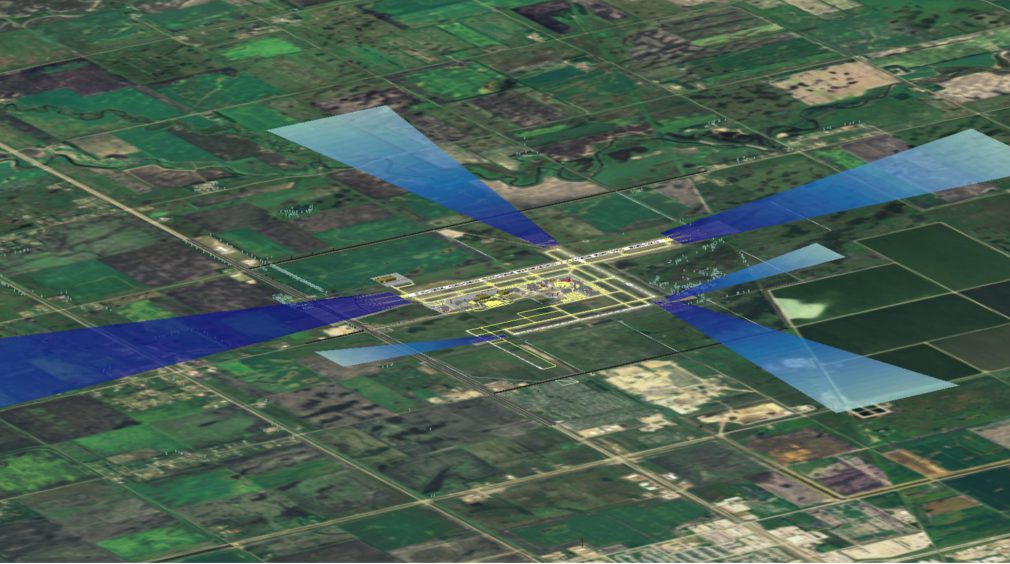
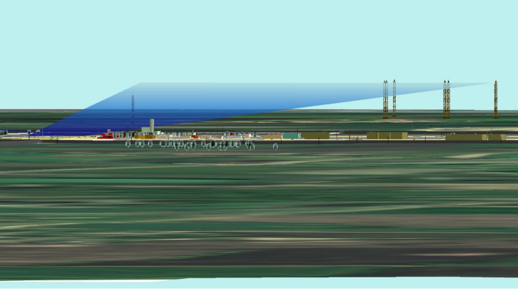
Just one year prior, the FAA’s Wide Area Augmentation System (WAAS) Office performed an aeronautical survey with air photography and collection of obstacle data. Through a coordinated effort with the FAA utilizing some of the previously collected WAAS Office data, this project completed the requirements of collecting survey data with aerial photography, along with the airport airspace analysis which saved thousands of dollars.
KLJ coordinated all aspects of the project, from survey data collection, to development of the GIS data, the final project report, and the FAA GIS project deliverables, and completed the project through the FAA's AGIS website.

RESULTS
In 2013, the Grand Forks International Airport project received the American Council of Engineering Companies of North Dakota Engineering Excellence award which was rated on uniqueness and/or innovative applications, future value to the engineering profession and perception by the public, social, economic and sustainable development considerations, complexity, and successful fulfillment of client/owner's needs.